| ||||
 | ||||

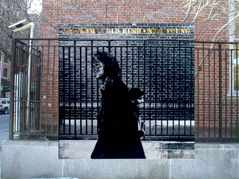
example: Neil Young's 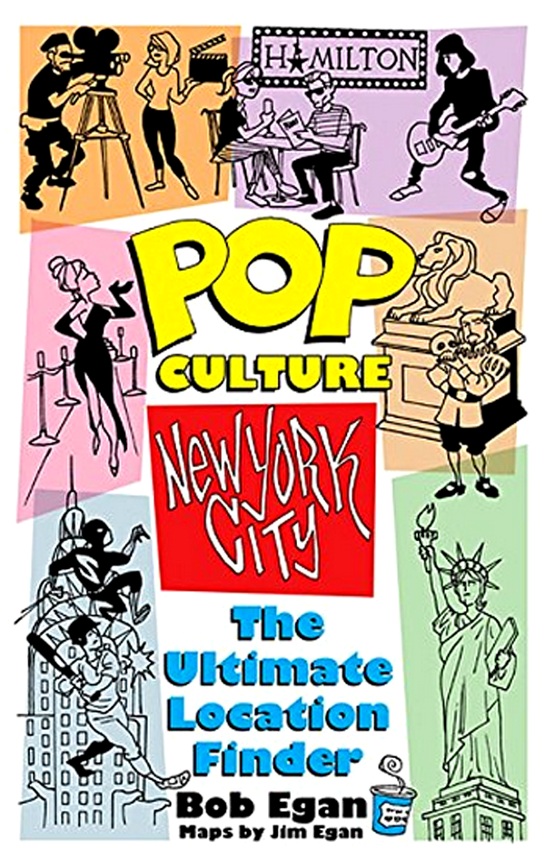
• POP CULTURE - NEW YORK: THE ULTIMATE LOCATION FINDER, based on PopSpots, has maps to over 2,000 Pop Culture locations you can visit in New York CIty. RELEASED IN 2018! Ask for it it at your at your local bookstore, or buy it online from Amazon, Barnes and Noble, Target, Walmart and other online dealers. Read about it here. To be notified of new PopSpots and "PopSpot Singles" entries, follow PopSpotsNYC on Twitter:
Follow PopSpots on Facebook 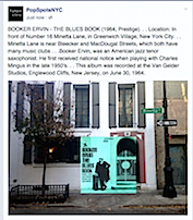
For questions or comments, you can email me, Bob Egan, here. Reference section: 
click here to see ongoing Dylan Research and also selected art, film, and history PopSpots-in-progress. PopSpots in the media. 
Looking for a free and extremely simple online method to learn HOW TO PLAY GUITAR? 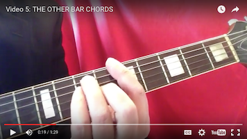
Or, just looking for a list of over 250 easy-to-play 3-chord and 4-chord songs? Click here to get to the website for: Bob Egan's MOST EXCELLENT LIST OF 3-CHORD and 4-CHORD SONGS" For The PopSpots Guide to Bookstores in NYC, click here.
|
Bob Dylan and friends on the way to U. Mass., Amherst,on April 26, 1964 where Bob gave a concert.. We are trying to figure out where they were between Cambridge and Amhert, Mass. Notice the capital "Y" - possibliy part of a corporate, college, or town sign - at left. The white stone wall it meticuloutly built, as if funded by a corporation. Bob Dylan and Friends on the way to U. Mass, Amherst on April 26, 1964. Note the letter "y" on the back left. It seems like the end of a corporate campus sign. (click to ENLARGE) 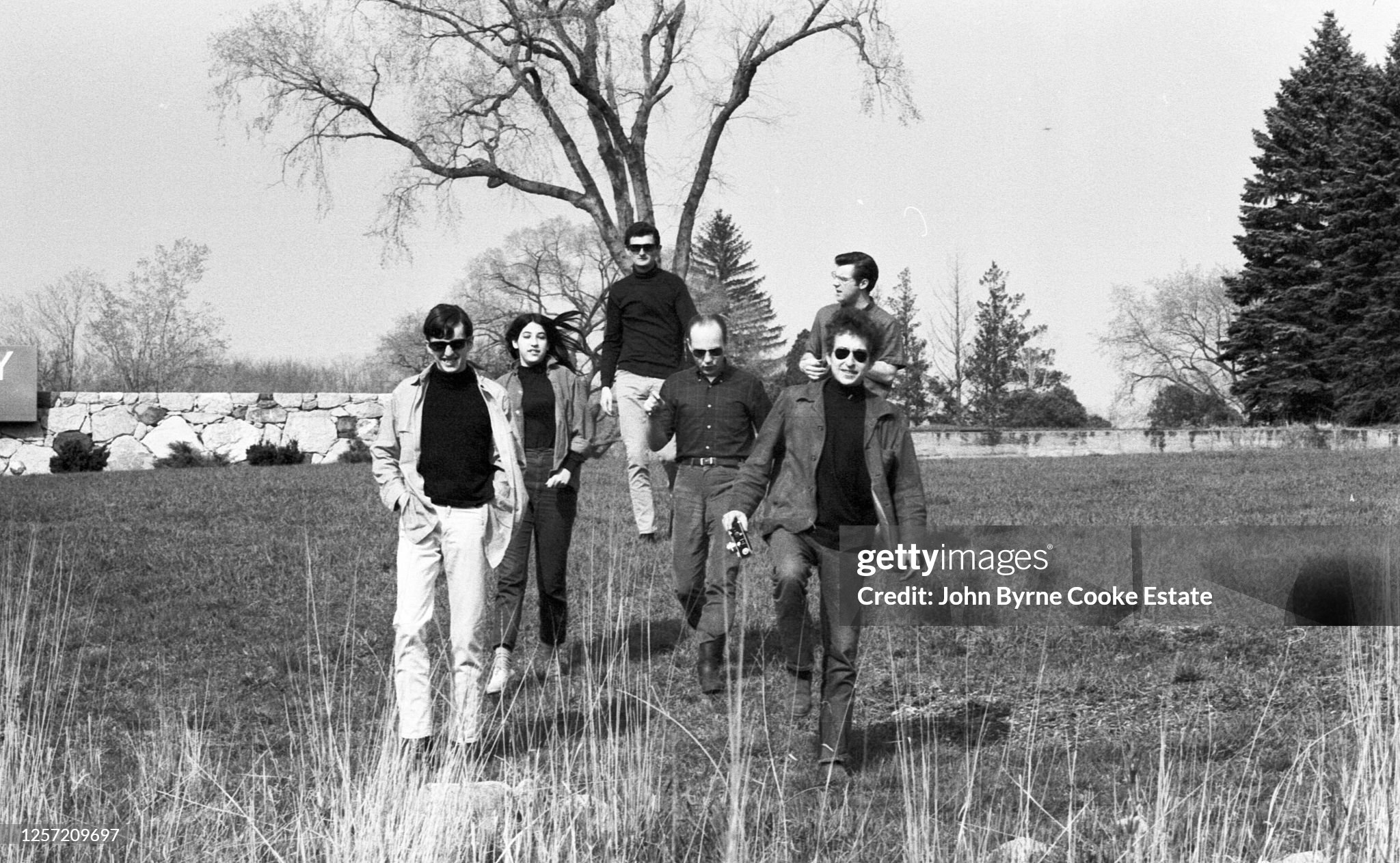
A colorized version. The people, left to right, are Charlie Frizzell, unknown woman, Victor Mamudies (Dylan tour manager), Charlie Rothchild (later record producer - The Doors), Bob Dylan (sunglasses), John Sebastian (rear - later of the Loving Spoonful). 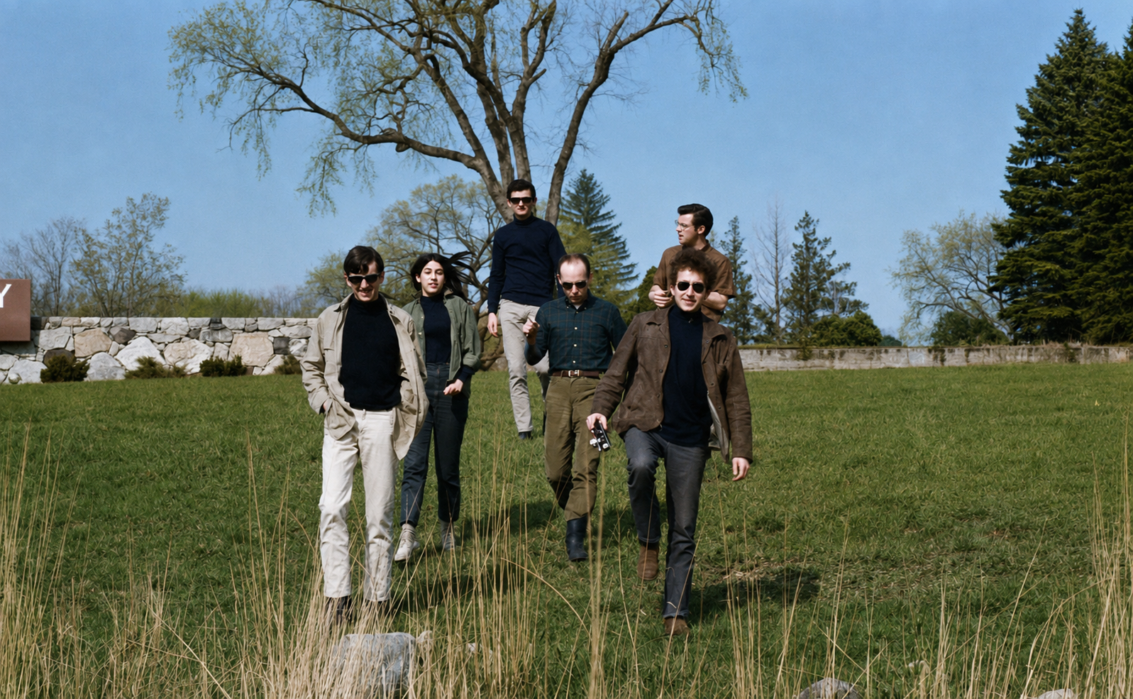
Dylan and Rothchild talking. 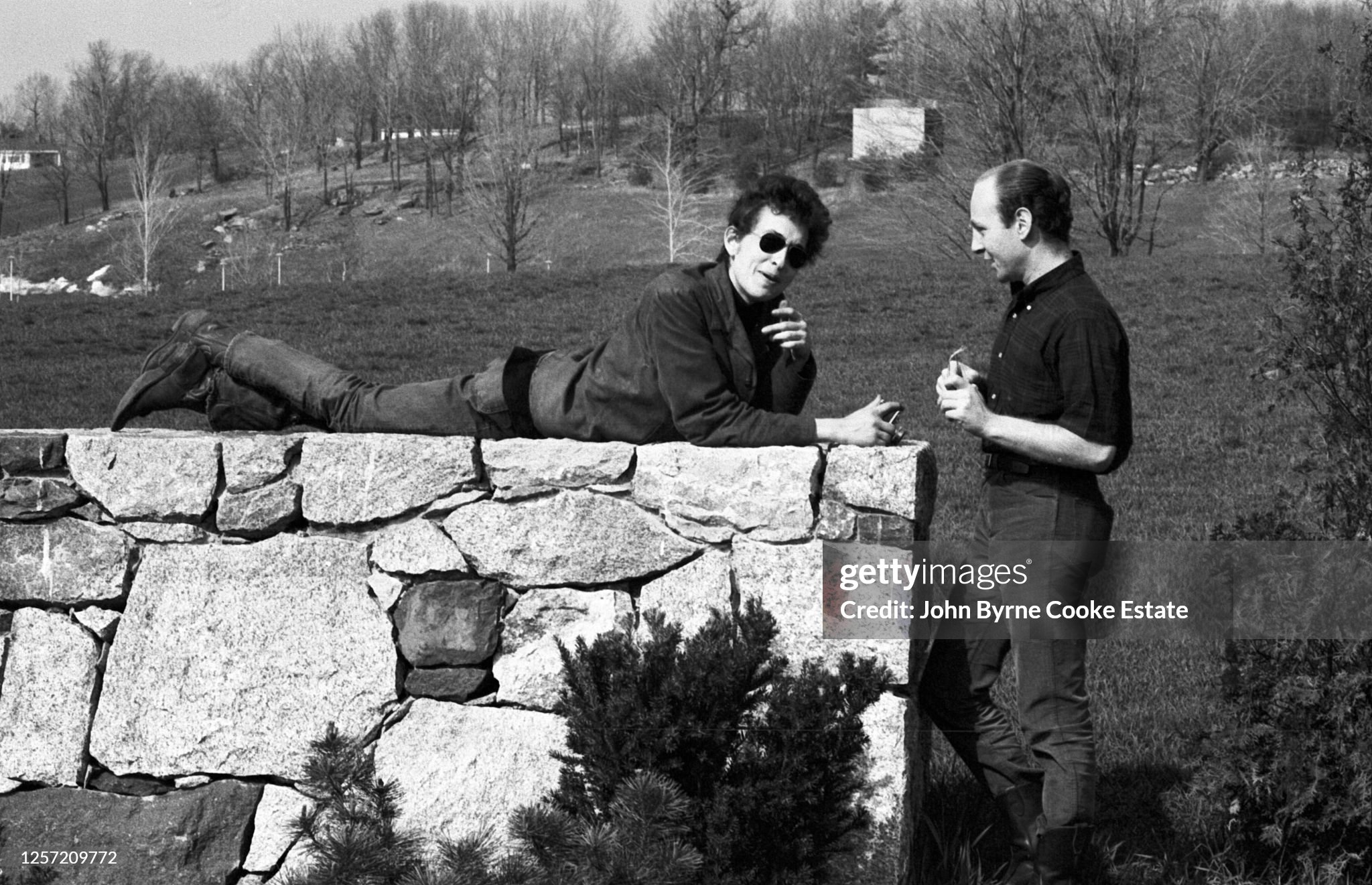
A colorized version. 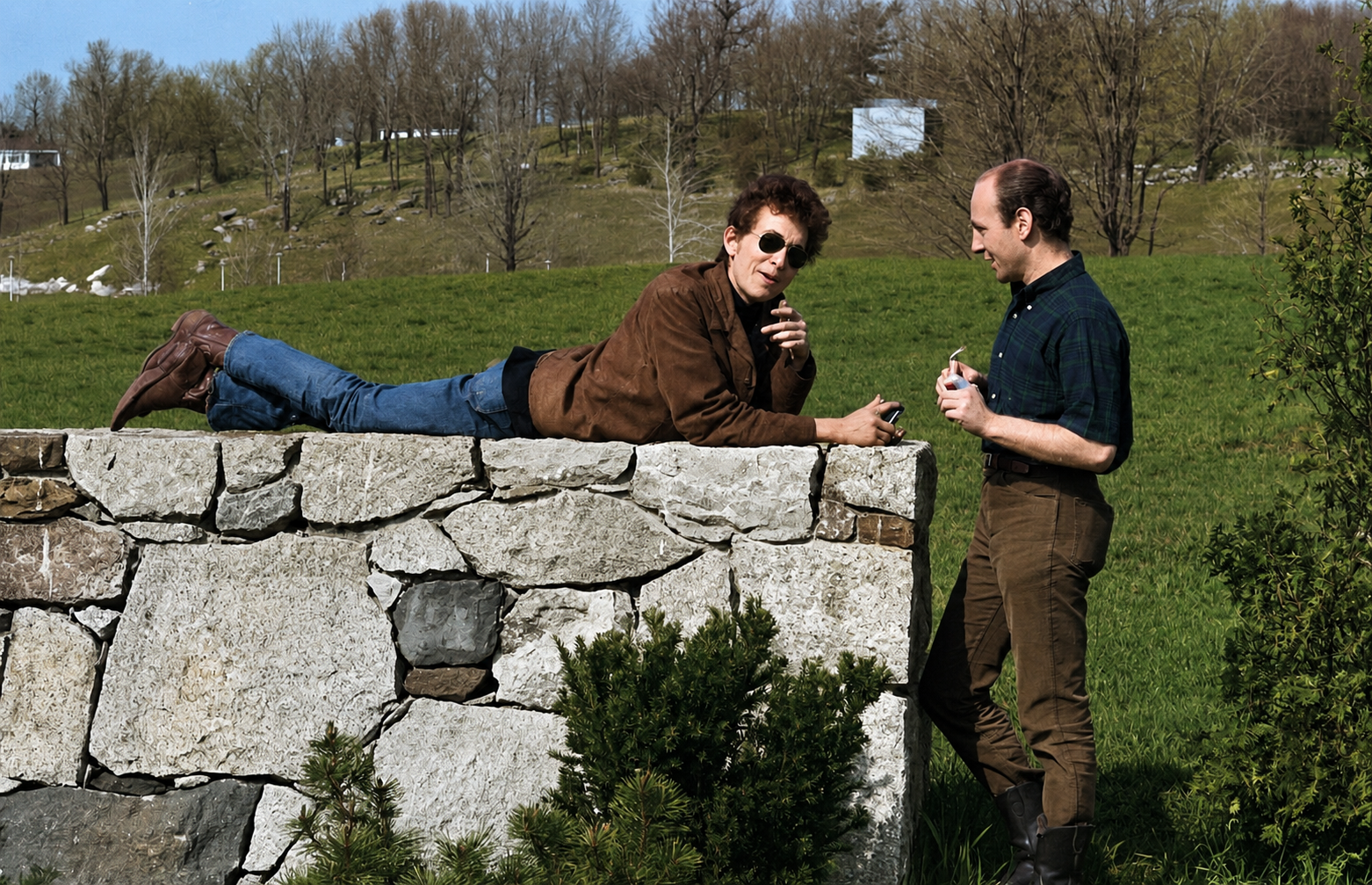
This seems likely where they parked their cars at the bottom of the hill. 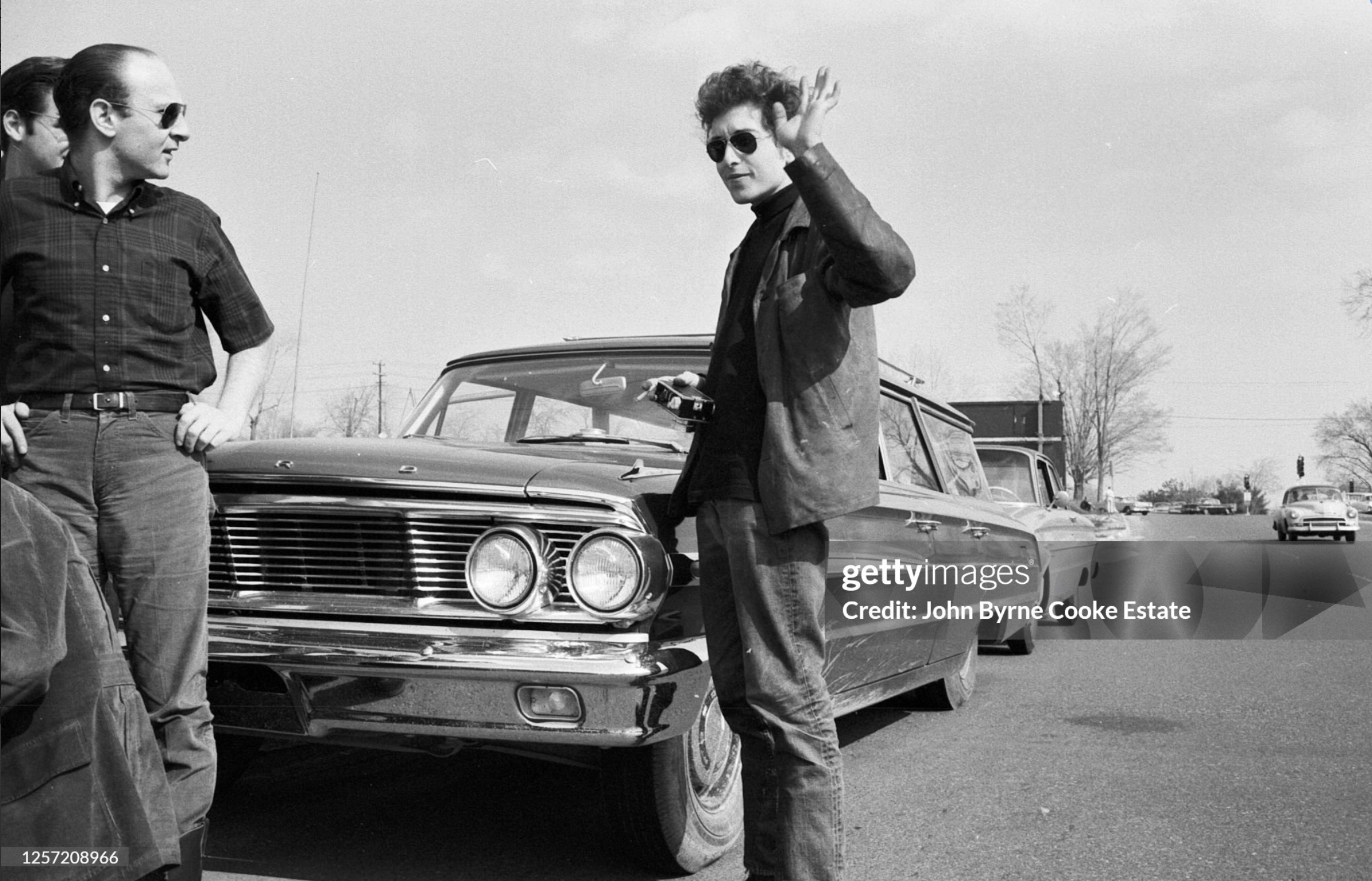
A colorized version showing Dylan's blue station wagon. 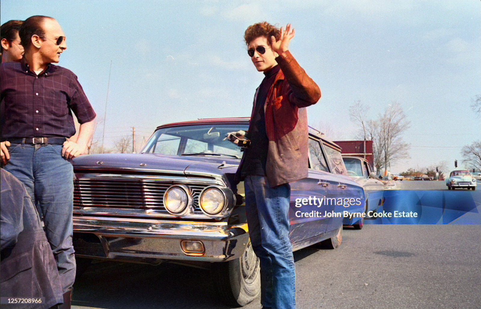
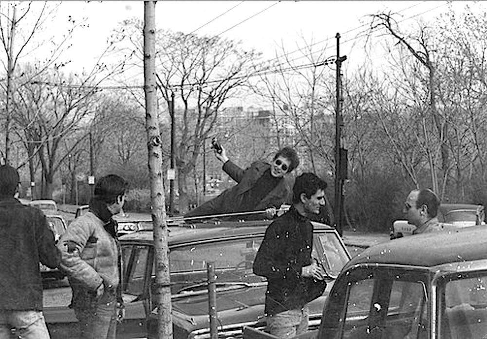
Bob, on the road (probably Route 2) - before or after the stop, on the way to the University of Massachusetts for a concert at Curry Hicks Cage (auditorium) BOb is next to his Ford station wagon (likely a Counntry Sedan) which he used to drive to concerts. John Byrne Cooke descrbes it as navy-blue. 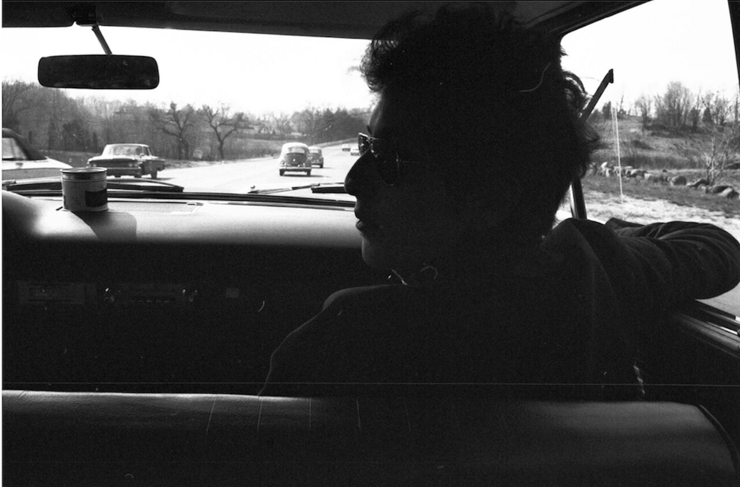
Dylan with camera in car. 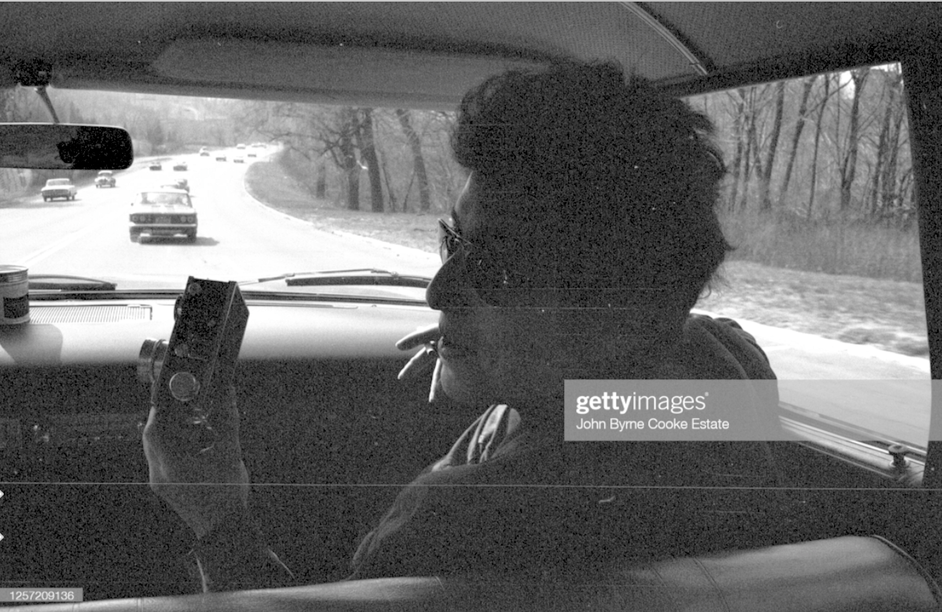
A slight variation. Bob seems to be laughing. . 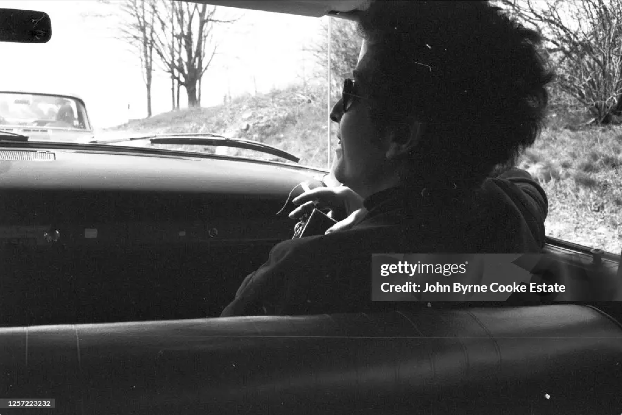
Dylan in front seat, passenger side, close-up. 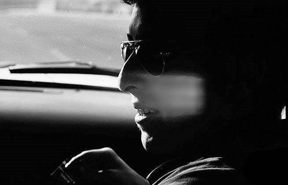
The group leaing Cambridge. Photo supposedly by Betsy Siggins. Bob was staying at the home of Betsy and Bob Siggings. From left to right: Probably Charlie Frizzell, John Sebastian, Victor Maymudes, Paul Rothchild. They are on Mt Auburn Street at Maynard Place 1/10 of a mile from Longfellow Park. Memorial Drive is just beyond the bushes at tight.
A colorized version. 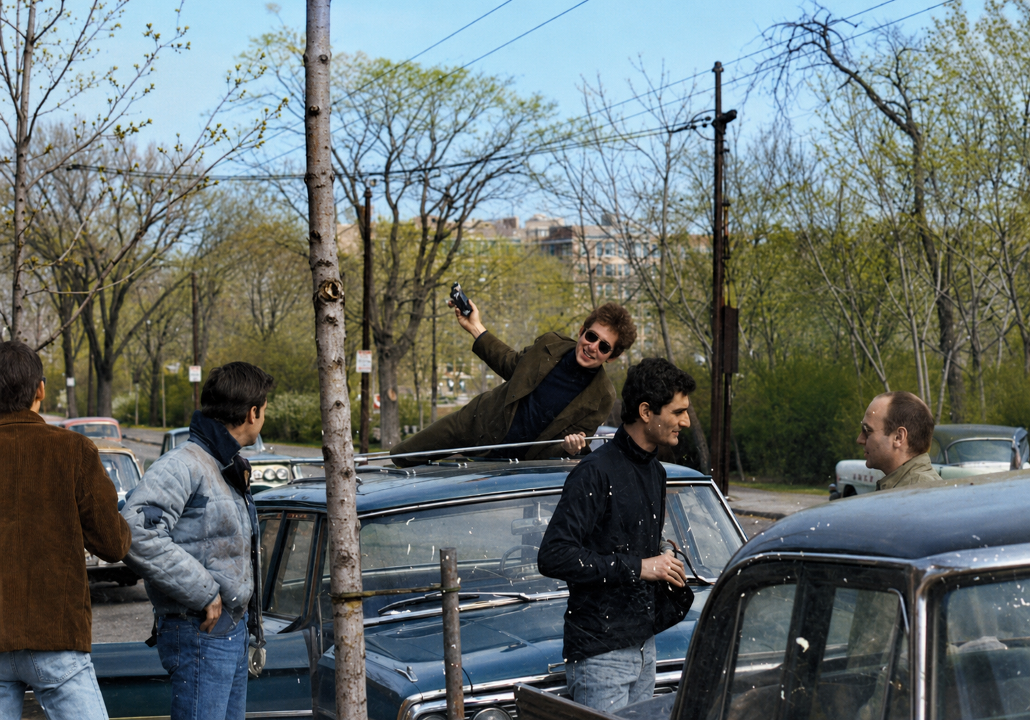
Bob on the roof with camera. 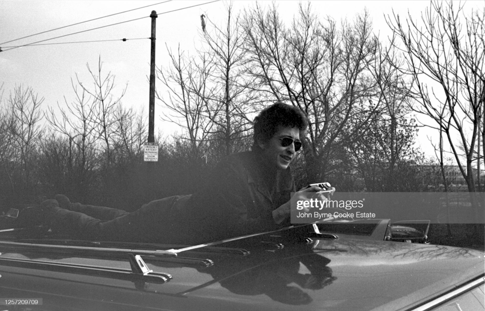
A slight variation. John Sebastian at left. 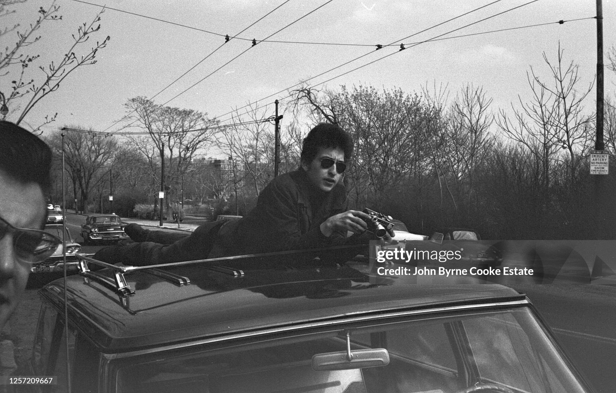
Bob and John Sebastian playing harmonicas. The high-rise residential building behind them is calld "Ten Ten (1010) Memorial Drive." 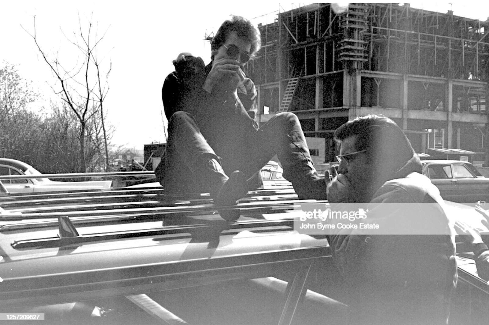
Bob by himself on the roof. 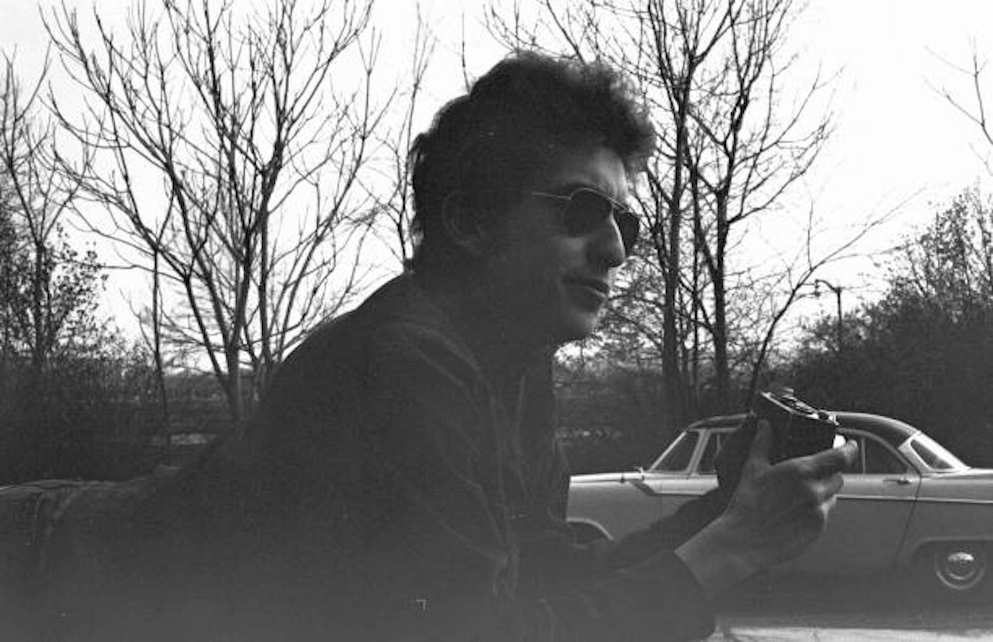
From the book: Bob Dylan: The Day I Was There by Neil Cesser. 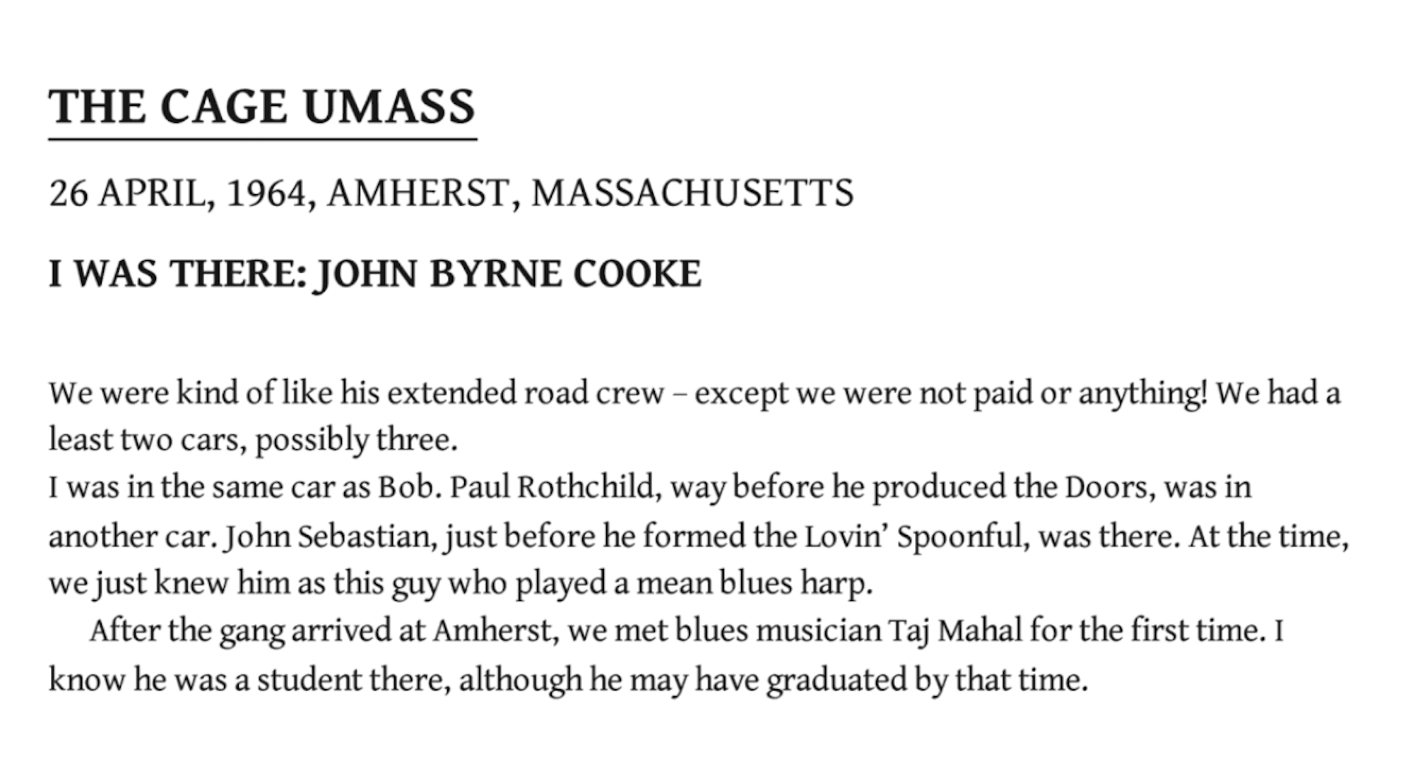
This is a map of Route 2 - the road they would have travelled on from Cambridge to Amherst, where the University of Massachusetts was located. 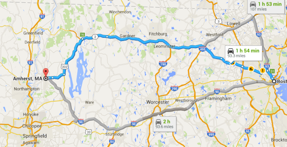
This photo of Bob onstage by John Cooke is likley from the U. Mass. at Amherst concert. 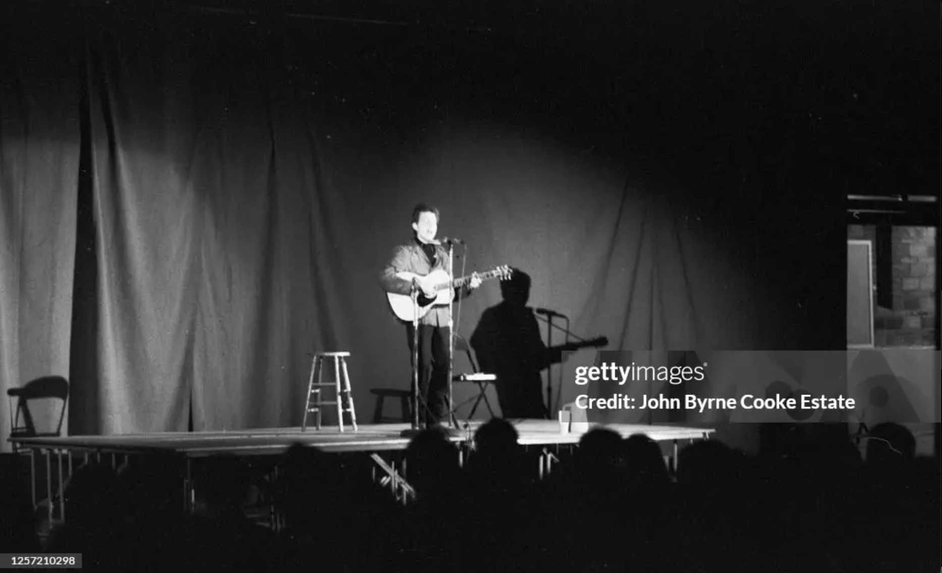
This one, too. 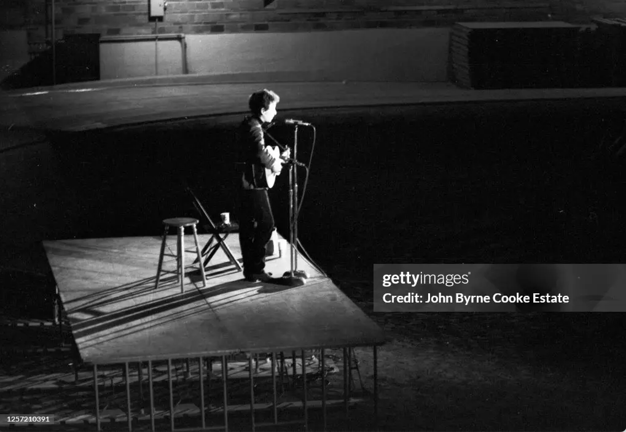
A poster for the concert. 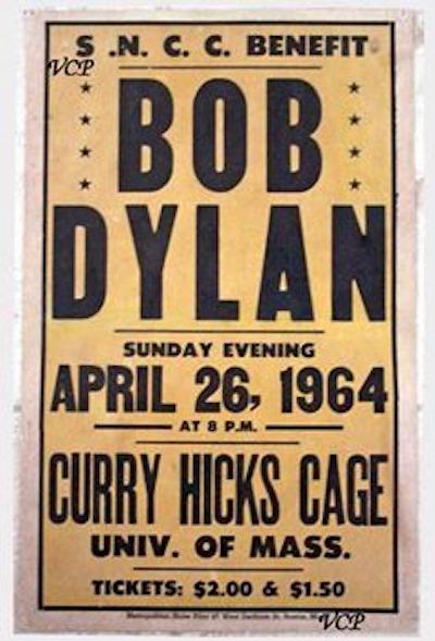
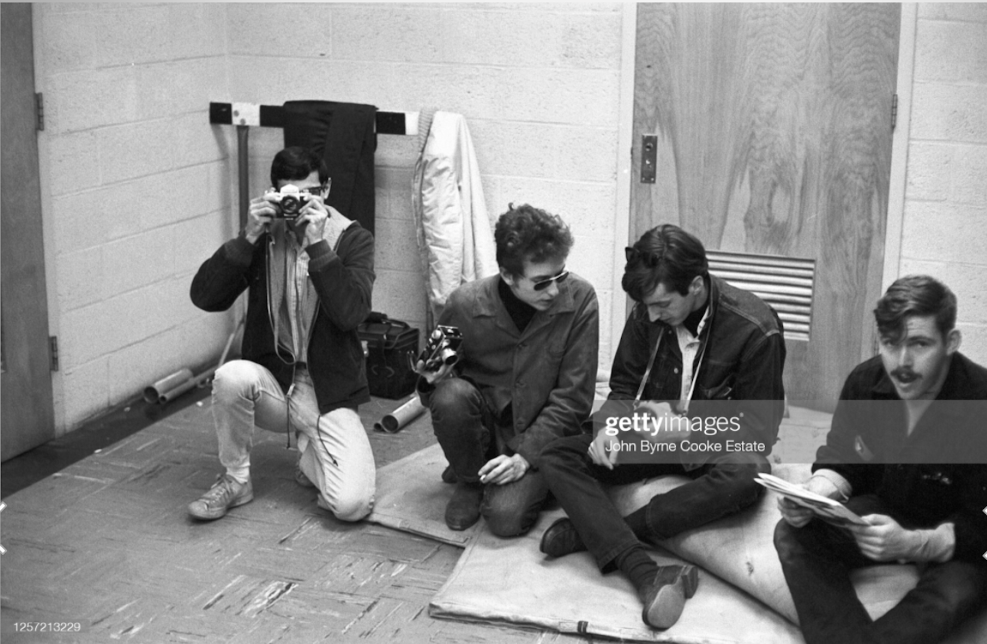
The day before the two cars went to Amherst, most of the same people spent the day at the Brandeis Folk Festival on Saturday, April 25, 1964. This photo was taken there. Dylan didn't perform. He only watched. The picture on the hill was probably not taken around Brandeis. For example, Charles Frizzell is wearing different clothes than in the picture of the group running down the hill on the way to U. Mass. (In this photo Frizzell is wearing black pants; when running down the hill, he's wearing white pants.) From left to right: Unknown (maybe Victor Maymudes), Bob Dylan, Charlie Frizzell, Doug Goldman (part of the Club 47 folk crowd).
A colorized version. 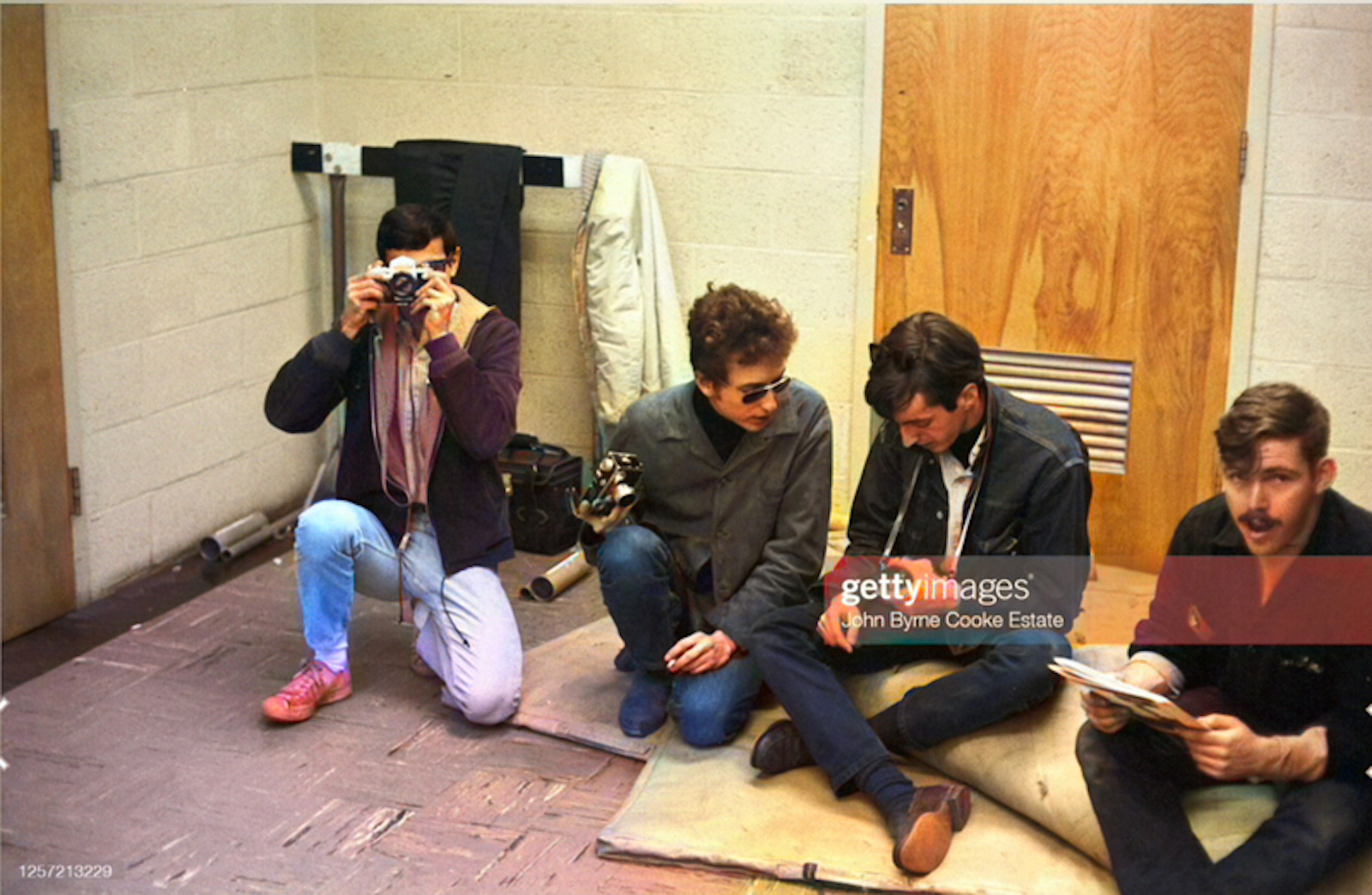
Dylan and Charlie Frizzell and their cameras. 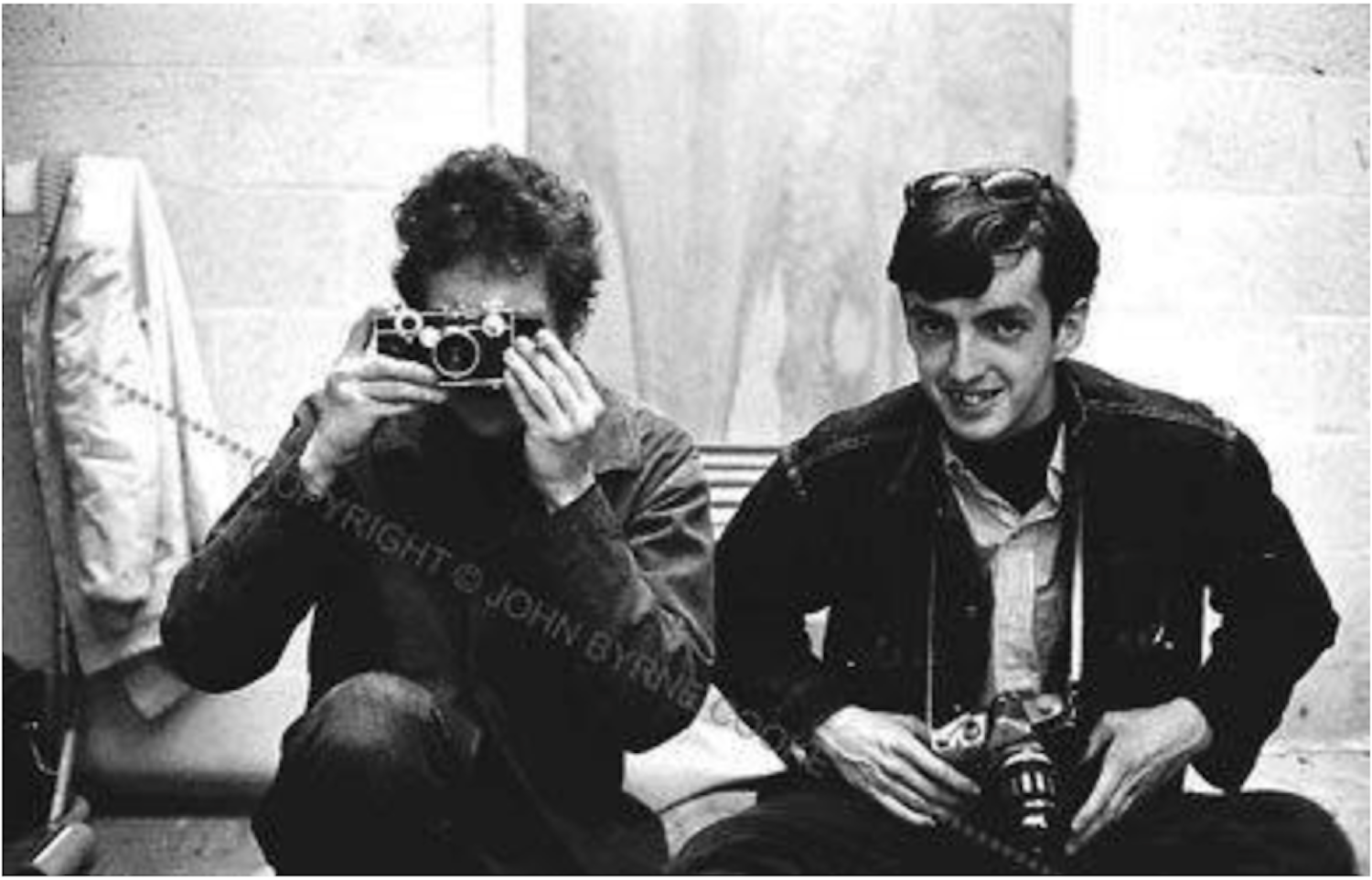
A poster for that concert. 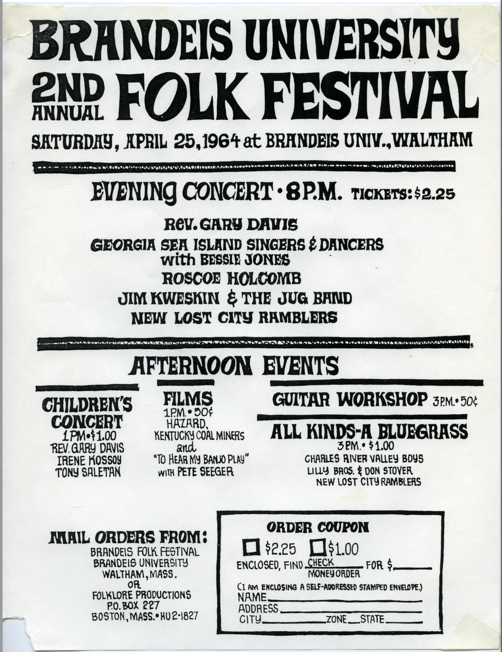
This is a picture of the Curry Hicks Cage, where Dylan played. It opened in 1931 as the Physical Education Building and became known as "the Cage" because cage-like enclosures surrounded the basketball court and separated it from the indoor track. It was named after Curry S. Hicks in 1941. 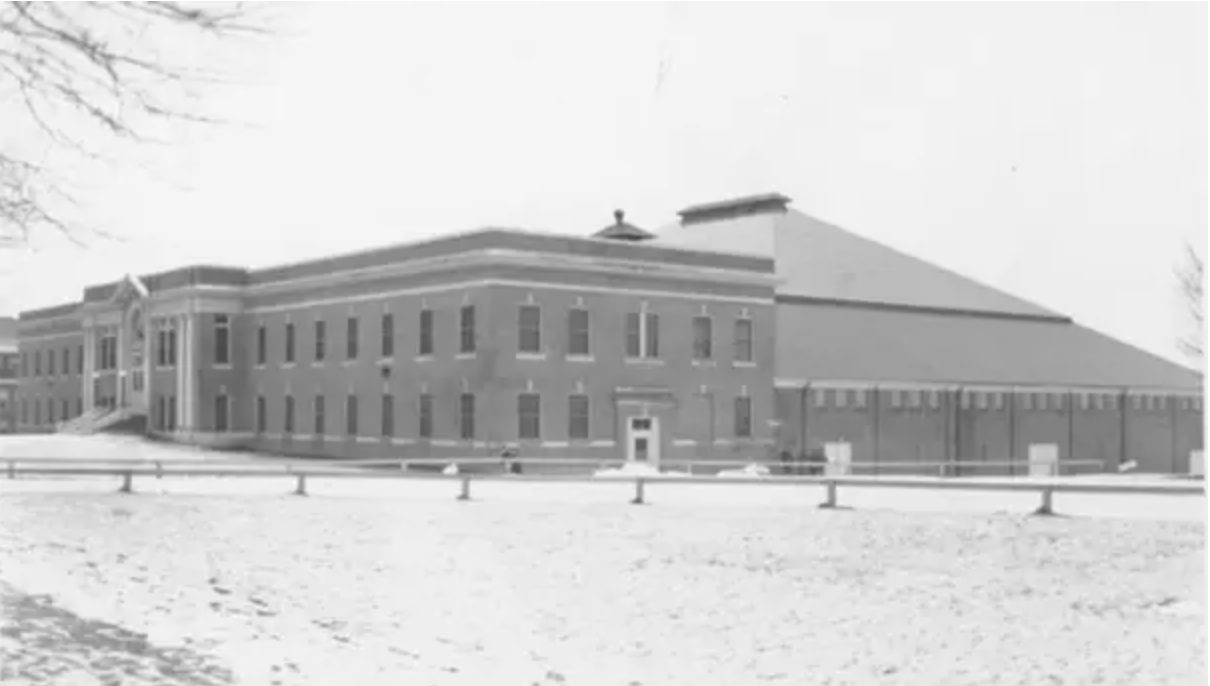
A photo of John Byrne Cooke by Charlie Frizzell. 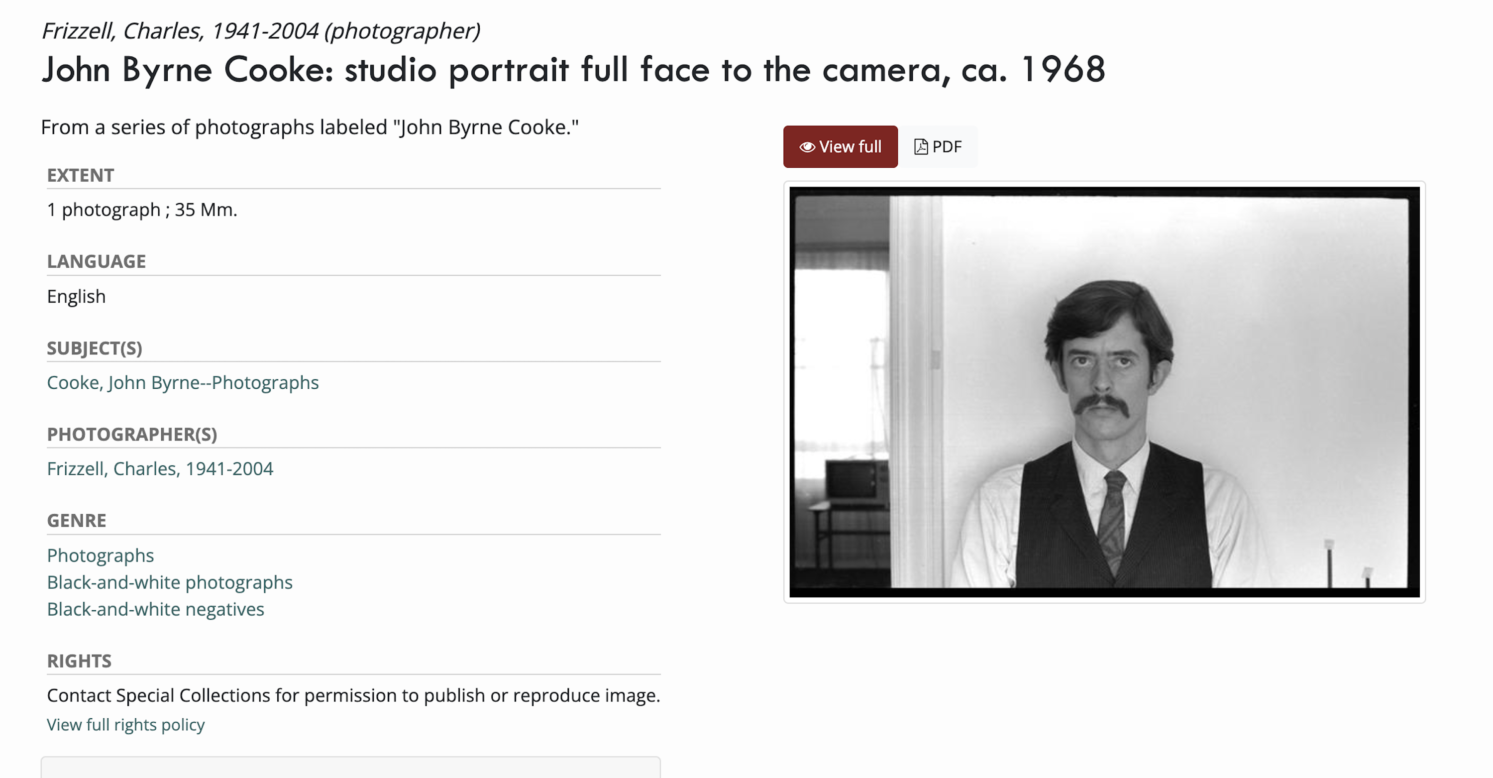
1960's map of Route 2 - EAST END near Cambridge / Boston. (CLICK TO ENLARGE) 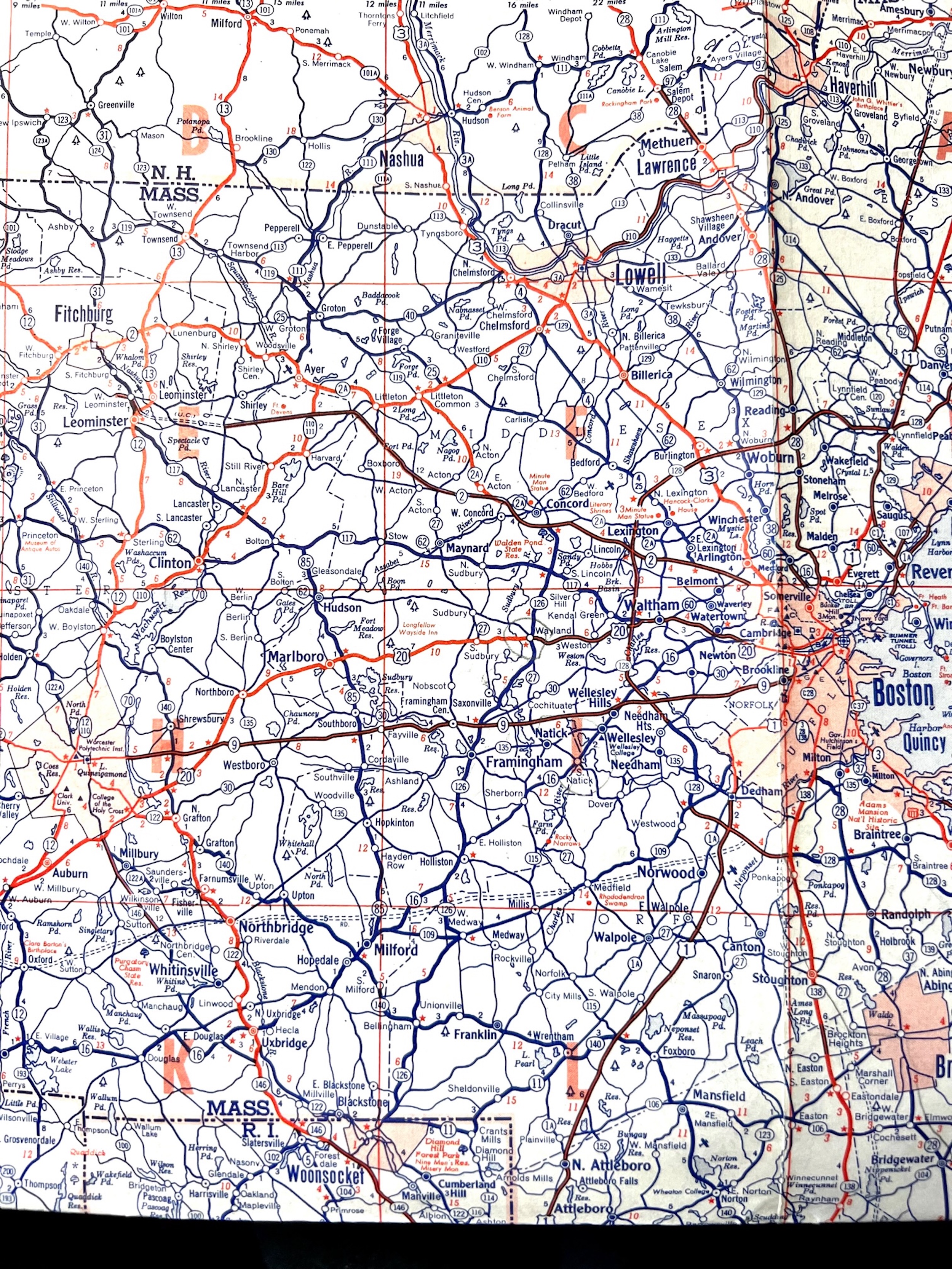
1960's map of Route 2 - WEST END near Amherst / U.Mass. (CLICK TO ENLARGE) 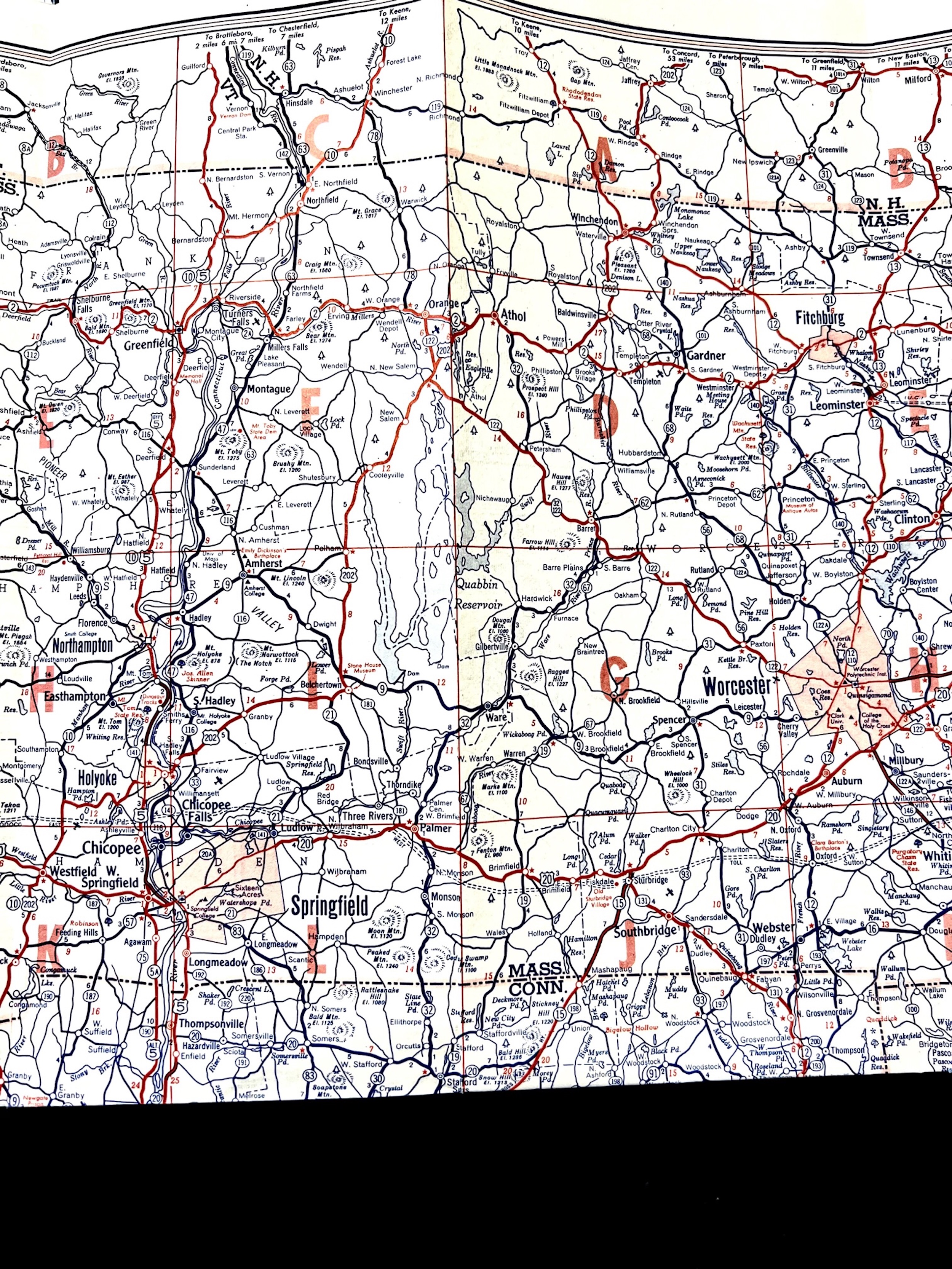
Marie Fotini helped research this PopSpot. 
|
|||